Mt. Whitney & the Whitney Zone
Base: Lone Pine
The highest peak in the contiguous US (14,505') and the most permit-competitive trailhead in the range. Trail Camp, Trail Crest, and the summit ridge see snow into July most years.
Where we operate
The Sierra Crest splits California's highest ground into two distinct trip experiences — a short, steep escarpment on the east, and long forested approaches into deep granite canyons on the west.
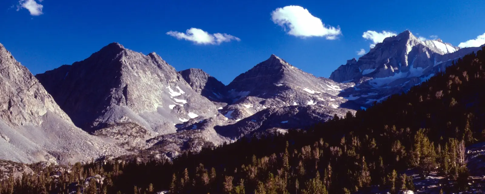
Highway 395 runs along the base of an escarpment that rises 5,000–8,000 feet in a handful of miles. Trailheads already sit at 8,000–10,000 feet, so you're in true alpine terrain fast — with less tree cover, drier trails, and classic afternoon thunderstorm patterns in mid-summer.
Base: Lone Pine
The highest peak in the contiguous US (14,505') and the most permit-competitive trailhead in the range. Trail Camp, Trail Crest, and the summit ridge see snow into July most years.
Base: Bishop
Three forks of Bishop Creek climb fast into granite basins. Sabrina and South Lake trailheads reach alpine terrain within a few miles — a favorite for short, high-payoff trips.
Base: Tom's Place
Mosquito Flat, one of the highest trailheads in the Sierra, drops you straight into Little Lakes Valley with routes over the Mono Divide into the Mono Creek and French Canyon drainages.
Base: Mammoth Lakes
Devils Postpile and Reds Meadow open onto the Ansel Adams Wilderness and Minarets — a hub for JMT/PCT resupply as well as standalone trips.
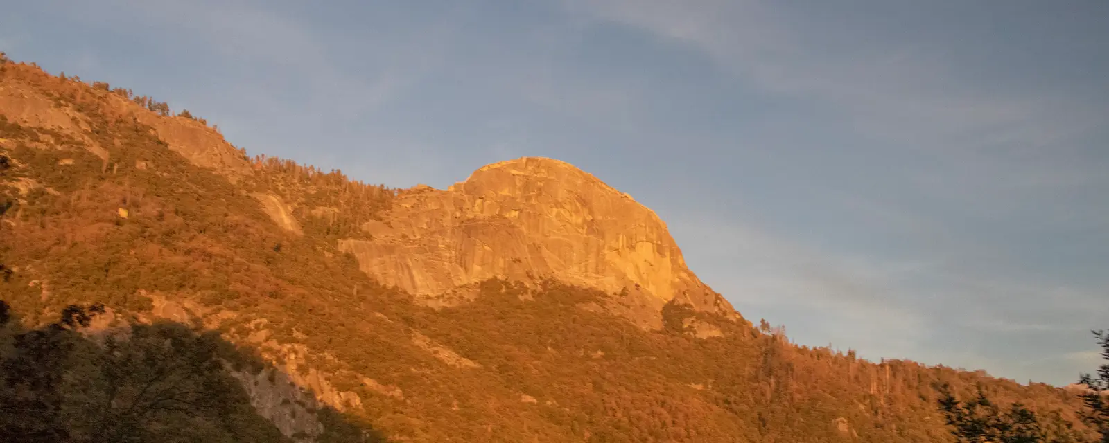
Approaches climb gradually through forest before opening into granite domes, glacial basins, and canyon country. This is JMT/PCT territory, with more consistent water and shade — and generally more competitive, reservation-based permit systems inside the national parks.
Base: Tuolumne Meadows
Sub-alpine meadows, the Cathedral Range, and the northern terminus of the JMT. Yosemite's wilderness permit reservation system is competitive — we build backup dates into every plan.
Base: Cedar Grove / Roads End
Deep glacial canyons and the classic Rae Lakes Loop. Bubbs Creek and Paradise Valley connect to some of the most remote country in the southern Sierra.
Base: Mineral King
The High Sierra Trail crosses the range from here to Whitney. Mineral King's subalpine valley and Farewell/Franklin passes see far fewer permits than the Whitney side.
Base: Ansel Adams Wilderness
Quieter approaches to the same JMT/PCT corridor as Reds Meadow, with a less competitive permit system than the national parks on either side of it.
The Eastern Sierra falls mostly under Inyo National Forest, while much of the Western Sierra sits inside Yosemite, Kings Canyon, and Sequoia National Parks — each with its own quota, reservation window, and walk-up rules. Permit strategy is part of every guided trip and planning package. See the FAQ for details.
Timing a trip
Conditions shift fast at elevation — exact dates vary year to year with snowpack.
Jun – early Jul
Lingering snow on passes, high and fast stream crossings. Best for ski mountaineering wind-down and lower-elevation trips.
Mid Jul – early Sep
Most trails fully melted out, warmest nights, and the most competitive permits and campsites.
Mid Sep – Oct
Thinner crowds, larches and aspens turning on the east side, shorter days, and a real chance of an early storm.
Apr – May
Corn-snow ski mountaineering window on east-side couloirs and bowls, weather and avalanche-conditions permitting.
Tell us where and when, and we'll help you figure out guided vs. self-guided — and what it'll cost.